Location Tracking Revolution: Bulky Infrastructure to Sensors
Location technology is quietly undergoing a revolution. For years, we relied on satellites, beacons, and heavyweight infrastructure to understand where things are. That model is slow to deploy, fragile in harsh conditions, and often impossible to roll out in the very places where precise positioning matters most: indoors, underground, dense urban environments, and complex industrial sites. A new generation of sensor‑driven, software‑only positioning flips that script by putting intelligence directly on the devices you already own.
Juxta
Juxta Team
Why infrastructure‑heavy location is hitting a wall
Traditional and network‑centric location solutions were designed for a world where you could control the network, install hardware, and accept long integration cycles. They typically depend on:
- Deep integrations into wireless infrastructure such as 5G or WiFi.
- Specialized synchronization or signal‑processing equipment.
- Lengthy design, deployment, and calibration projects.
That approach can deliver impressive accuracy, but it comes with real trade‑offs: high capex, complex multi‑stakeholder deployments, and limited flexibility when environments or requirements change. In practice, many teams simply cannot get this kind of infrastructure green‑lit for a warehouse, hospital, construction site, or remote facility.
Meanwhile, the devices moving through these spaces—phones, robots, vehicles, handhelds—are packed with powerful sensors and compute that often go underused for positioning.
The sensor‑first model: maps + on‑device intelligence
A sensor‑first positioning system starts with a simple idea: your devices already know a lot about where they are.
Accelerometers, gyros, magnetometers, wheel encoders, and other built‑in sensors generate a rich stream of motion and orientation data. Instead of building a new hardware layer in the environment, you turn layouts into virtual maps and let devices localize themselves against those maps.
The modern workflow looks like this:
- Upload a floorplan, CAD file, or satellite image of your environment.
- Let the backend automatically turn that layout into a polygonized, virtual map.
- Generate a tailored positioning model for that space using agents & ML.
- Push that model to your devices, which then track positions on‑device in real time.
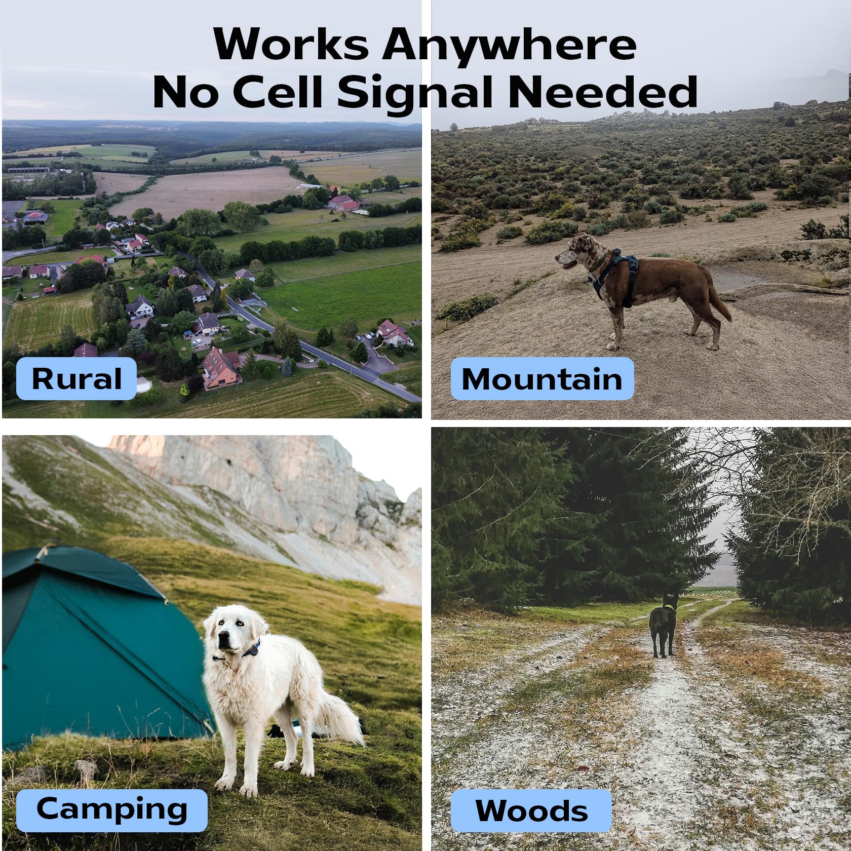
Once deployed, devices can localize themselves with meter‑level accuracy indoors and around a few meters outdoors—without satellites, beacons, or calibration walks. The result is a “universal positioning system” that follows your assets into the toughest GPS‑dark spaces.
No satellites, no beacons, no problem
The fragility of satellite‑dependent systems shows up exactly where reliability is most critical: dense cities, indoors, underground, and under heavy cover. Beacon‑based solutions help, but they introduce an installation and maintenance burden—batteries die, units get bumped, layouts change.
With a sensor‑driven approach, you avoid all of that:
- No satellites: Works fully offline; buildings, tunnels, and weather disruptions don’t break positioning.
- No beacons or anchors: Nothing to mount, power, or maintain in the environment.
- No calibration walks: The system can be configured and shipped remotely; teams don’t have to walk every corridor to “teach” the system.
For operators, that means deployments that happen in hours or days, not months. For engineering leaders, it means rolling out positioning as software, not as a construction project.
Offline, unjammable, and built for harsh realities
Connectivity and RF conditions are often the weakest links in traditional location stacks. If your system depends on real‑time connectivity to infrastructure or satellites, it’s vulnerable to outages, interference, and deliberate jamming.
Sensor‑first systems flip that dependency:
- On‑device inference: The positioning model lives on the device, so core functionality keeps working even with limited or no network.
- Unjammable by design: Because the system does not rely on satellite signals, typical GPS‑jamming techniques do not knock it offline.
- Graceful degradation: When connectivity comes and goes, data can sync opportunistically rather than halting operations.
For critical operations—robots in warehouses, field teams in remote areas, workers in complex facilities—knowing that location continues to function without a clean RF environment is more than a convenience; it is a safety and uptime requirement.
Deployment in a day, not a quarter
One of the most compelling aspects of the sensor‑driven, map‑based approach is how fast it can be rolled out. Because there’s no need to touch the underlying network or install dedicated hardware, configuration can be done remotely and delivered as a product, not a bespoke project.
A typical rollout looks like this:
- Share your layouts and define the area you care about.
- Configure tracking parameters (for people, robots, vehicles, or equipment).
- Choose how you want to receive the system: web dashboard, SDK, or software packages.
- Start tracking assets once the model is deployed to devices.
This “pay by area + assets” mindset makes it easy to start small—one facility, one fleet—and scale as value is proven. Instead of a massive up‑front commitment, you can pilot in under a day, iterate quickly, and then expand to more spaces and asset types.
Flexible outputs for different teams
A modern positioning layer should meet teams where they are. Not every customer wants a full‑blown control room; many just want clean, composable data they can plug into their existing systems. That’s why a flexible output model matters.
With a sensor‑first platform, you can:
- Use a browser‑based dashboard to visualize live positions and trajectories.
- Export or stream location data into your existing tools (WMS, RTLS, robotics stack, digital twin, or BI).
- Embed positioning directly into your own applications via software packages or SDKs.
This makes the location layer a true enabler for automation: robots can localize and navigate, operators can monitor and optimize flows, and analytics teams can discover patterns—all from the same underlying sensor‑based positioning system.
Ideal for GPS‑dark and dynamic environments
Some environments are simply hostile to infrastructure‑centric approaches:
- Constantly changing layouts (construction sites, event venues, flexible warehouses).
- Temporary or pop‑up operations (disaster response, field research, seasonal facilities).
- Highly constrained or remote environments where installing hardware is impractical.
Because sensor‑driven positioning only needs a map and devices, it thrives in these scenarios. When layouts change, you update the digital map and regenerate the model, rather than dispatching teams to move or re‑calibrate physical anchors. When a new site comes online, it’s just another configuration in the same system.
This agility is especially powerful when your operations are scaling faster than your ability to rewire infrastructure.
A better fit for modern autonomy
As robots, drones, and autonomous systems proliferate, they need reliable positioning that isn’t locked behind telco infrastructure or bound to satellites. A sensor‑first, map‑driven positioning layer aligns naturally with autonomy stacks that already lean heavily on on‑device perception and local planning.
Key advantages for autonomy and robotics:
- Consistent positioning indoors and out, even when GPS drops.
- Shared maps that robots and humans can both use for coordination.
- Independence from external networks, which reduces latency and points of failure.
This turns location from a brittle dependency into a robust capability that travels with your fleet wherever it goes.
The case for choosing sensor‑driven positioning
For teams evaluating how to bring precise, reliable location into their operations, the trade‑offs are increasingly clear. Infrastructure‑heavy approaches make sense when you control the network, can afford long deployments, and want a deep physical layer built into your communications fabric.
But if you:
- Need to move fast and deploy in days, not quarters.
- Operate in GPS‑dark or dynamic environments.
- Want to avoid new hardware in the field.
- Care about offline operation and resilience to interference.
then a sensor‑first, map‑driven, on‑device positioning system is often the better fit. It uses the sensors your devices already have, the layouts you already maintain, and the software delivery patterns your teams already understand.
In a world where location is becoming as fundamental as connectivity itself, bringing the intelligence to the edge—onto the sensors in your devices—is how positioning finally catches up with the way modern operations actually work.